
Table of Contents
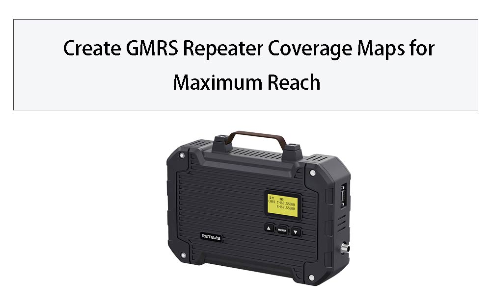
Create GMRS Repeater Coverage Maps for Maximum Reach
- Posted by:Anna
Why Mapping Your GMRS Repeater Coverage Matters
Understanding your GMRS repeater's coverage area is essential for:
-
Planning outdoor adventures with reliable communication
-
Organizing community emergency response networks
-
Optimizing business operations across multiple locations
-
Ensuring family stays connected in rural areas
Step-by-Step Guide to Creating Coverage Maps
1. Gather Your Equipment
You'll need:
-
Your GMRS radio (we recommend models compatible with the RT97L repeater)
-
GPS device or smartphone with mapping apps
-
Notebook for recording signal strength observations
The RT97L Advantage for Consistent Coverage
When creating coverage maps, the RT97L repeater offers distinct benefits:
-
25W Power Output: Provides stronger signal penetration through obstacles
-
IP66 Waterproof Rating: Allows for permanent outdoor installation in various weather conditions
-
Uniform Signal Distribution: The included antenna provides balanced coverage in all directions
-
Compact Design: Easy to mount at optimal heights for maximum coverage
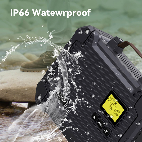
- RT97L IP66
Factors Affecting Your Coverage Map
Consider these variables when mapping:
-
Terrain: Hills and valleys significantly impact range
-
Antenna Height: Every additional foot improves coverage
-
Urban Density: Buildings absorb and reflect signals differently
-
Vegetation: Seasonal foliage changes affect signal penetration
-
Weather Conditions: Rain and humidity can alter propagation
Creating Your Digital Coverage Map
Convert your field data into a visual map:
-
Input your waypoints into mapping software
-
Overlay terrain data
-
Mark zones of strong/weak reception
-
Identify potential "dead zones"
-
Highlight optimal communication routes
Practical Applications of Your Coverage Map
Use your completed map to:
-
Plan group activities within reliable coverage
-
Identify locations needing additional repeaters
-
Document emergency communication capabilities
-
Share with family/team members for coordinated use
Maintaining and Updating Your Maps
Regularly update your coverage maps when:
-
You change antenna configurations
-
New construction alters local terrain
-
Seasons significantly change foliage
-
You upgrade equipment (like adding another RT97L)
Conclusion: Better Maps Mean Better Communication
Creating accurate GMRS repeater coverage maps with tools like the RT97L ensures you get the most from your 25W investment. The IP66-rated durable construction means your mapping remains valid through all weather conditions, while the uniform signal distribution provides predictable coverage patterns.


")
")
")
")


 Two-Way Radio Guide: Why PTT Matters?")


Comments
No data Yet