

Table of Contents
How to Use APRS for Off-Grid GPS Tracking & Ham Radio
- Posted by:Retevis
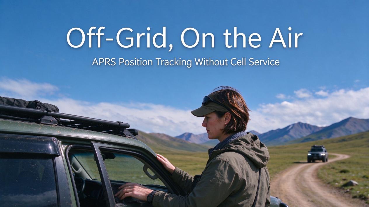
The most important data you can transmit off-grid is not your voice. It is your coordinates.
APRS — the Automatic Packet Reporting System — has broadcast position and data over ham radio frequencies since 1992. No cell tower. No internet. Just radio. Every packet starts with a callsign and ends with a location.
New operators often assume communication means talking. Hams who use APRS know better. HAM radio location tracking has existed for over 30 years. When you stand miles from the nearest road, your exact latitude and longitude matter more than any conversation.
What APRS Actually Is
APRS is a digital communication protocol. It sends short data packets over amateur radio frequencies. In North America, the standard APRS frequency is 144.390 MHz. The system uses AX.25 frames at 1200 baud — the same protocol family that powered early packet radio networks.
Bob Bruninga, callsign WB4APR, created the system in 1992. His goal was never just vehicle tracking. The official APRS website states it plainly: "THE GOAL IS COMMUNICATIONS and LOCAL INFO UPDATE, -NOT- JUST VEHICLE TRACKING!"
Two common misunderstandings confuse new operators.
First, APRS is not GPS. GPS is one possible source of location data. APRS is the protocol that transmits that data. Many fixed APRS stations have no GPS at all. They beacon a fixed position or a Maidenhead grid square.
Second, APRS does not use encryption. Amateur radio rules prohibit encryption. Anyone with an APRS-capable radio receives and decodes the packets. This openness is a feature, not a bug — it is what makes the network work without any central authority.
How It Works Without the Internet
The aprs.world FAQ answers the most important question directly: "Do I need an internet connection to use APRS? No."
APRS works as a pure radio-frequency network. APRS without internet HAM radio operators rely on this every day. Local groups, emergency communication nets, and field events often run with no internet at all. The internet tier — called APRS-IS — is an optional convenience layer. It lets distant operators see each other and lets websites like aprs.fi visualize the global feed.
Anything in range hears your beacon, with or without internet.
Here is how a packet travels:
- Your APRS radio sends a short data packet at regular intervals. The packet contains your callsign, latitude, longitude, and a symbol code.
- A nearby digipeater receives the packet and retransmits it. This extends coverage beyond direct radio range.
- If an iGate sits nearby, it receives the RF packet and uploads it to APRS-IS. From there, it appears on aprs.fi and other mapping sites.
- Even without an iGate or internet, other APRS users within radio range receive your position and messages directly.
The core is radio-to-radio communication. Two APRS operators exchange position and messages directly over the air. No infrastructure sits between them. No monthly fee. No data plan.
What You Can Send
APRS carries more than just position beacons. The protocol supports several data types:
- Position — regular GPS coordinate beacons, the most common use
- Short messages — point-to-point APRS messages, sent radio-to-radio without internet
- SMS and email — gateways like @SMS and @EMAIL route messages to phones and inboxes
- Status and objects — markers for shelters, staging areas, fuel points, and other key locations
- Weather and telemetry — data from remote weather stations and sensors
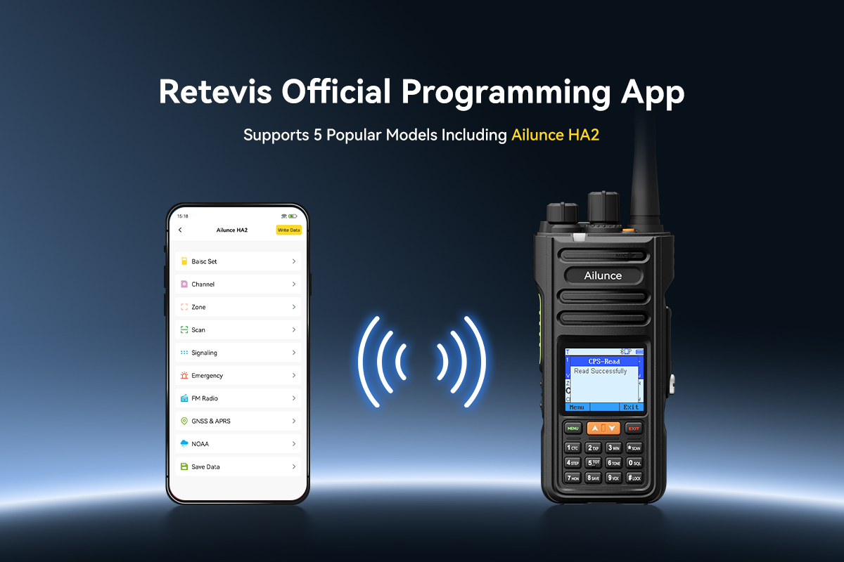
The Retevis Ailunce HA2 supports all of these through its 2026 firmware, including @SMS, @EMAIL, and PINPOINT for sharing exact coordinates.
Where Hams Actually Use It
POTA and SOTA Activations
Summits and remote parks often lack cellular coverage. APRS provides a reliable way to self-spot without phone data.
The APRS2SOTA gateway turns a single APRS message into an automatic spot on SOTAwatch. The message travels from the summit to every chaser in the cluster in seconds. Chasers open aprs.fi, find the activator's callsign, and see live latitude and longitude. They cross-reference the position against topographic maps to confirm the summit identity.
Position history matters too. Chasers watch the activator approach the activation zone. The logged coordinates confirm the operator is inside the required area before they start calling.
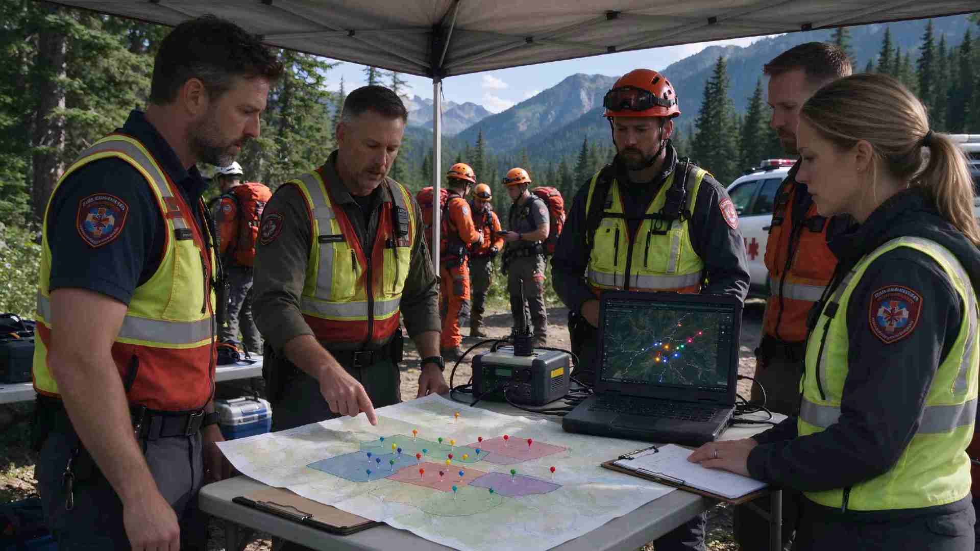
Alt:Search and rescue team briefs around paper map and laptop showing field positions via APRS at a forest incident command post.
Outdoor Expeditions and Group Hiking
Group position tracking reduces the risk of someone getting lost or separated. GPS tracking off grid GPS communication is the core value here. Friends and family follow progress on aprs.fi — entirely through radio, no cellular signal needed.
Verified users on ElectronicsHub report that the HA2's APRS text messaging "functions reliably with current firmware" and shows "consistent behavior when configured per manufacturer guidelines."
A reviewer at wavewizards.org spent time with the HA2's GPS and APRS settings in July 2026. "It did not take long to get everything working as I wanted," they wrote. "The firmware updates are very easy to apply. Ailunce provide an OTA version so, no cables and no fuss."
One practical detail matters for battery planning. Verified user data shows that APRS beacon intervals of two minutes or less reduce battery life by 35 to 40 percent. A five-minute interval is the practical default unless real-time tracking is mission-critical.
Emergency Communication and SAR
"Telling someone your coordinates is often more important than having a conversation." That observation from thewearify.com captures why APRS emergency communication matters.
Search and rescue teams use APRS for real-time position tracking. Commanders see every team member on a map. The system works in remote areas where cellular coverage does not exist.
ARES and RACES teams use APRS for resource tracking and deployment during disasters. When cell networks fail — from damaged towers, power loss, or congestion — APRS continues working through its radio-frequency infrastructure.
Object reports mark critical locations on the shared APRS map: shelters, staging areas, fuel points. Short messages carry logistics without tying up voice channels, keeping those frequencies clear for urgent traffic.
The Radio That Makes It Simple
A traditional APRS setup needs three pieces of equipment: a handheld radio, a phone for GPS and interface, and a Bluetooth KISS TNC to encode and decode the data packets.
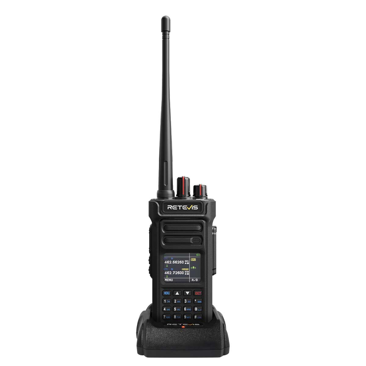
The Ailunce HA2 is an APRS GPS radio that combines the receiver and TNC inside one handheld. You turn it on and it beacons position. No external TNC. No phone GPS. One less device to carry means one less failure point and one less battery to charge.
The 2026 firmware — version V1.0.0.06.004-2 — adds BLE KISS TNC support and full iOS APRS compatibility. Firmware updates happen over the air, no cables required.
The radio supports point-to-point APRS messaging, custom callsign and SSID, automatic beaconing, and APRS.fi data sync. Offline GPS position reports work without any cellular network. The HA2 also includes Wind Link position sharing.
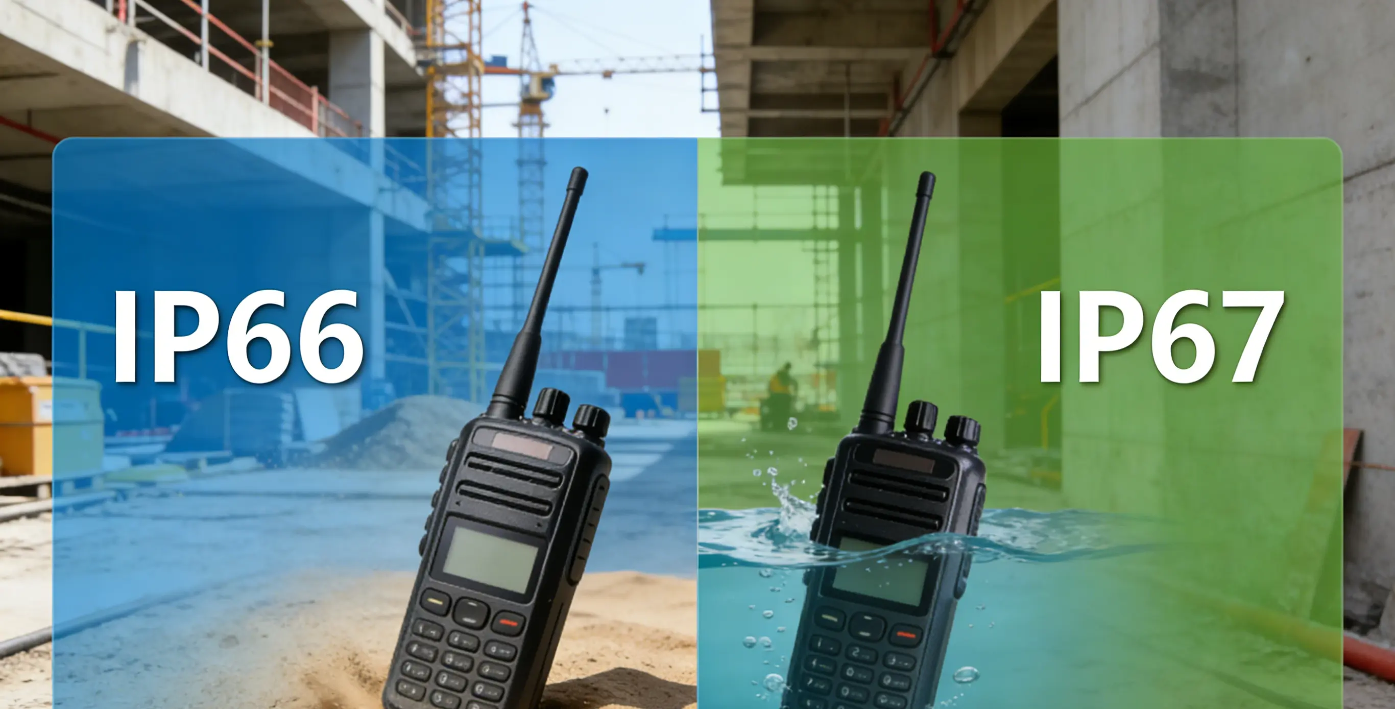
Hardware specs match the field use cases: IP67 waterproof rating, a 2800mAh removable battery with USB-C charging, dual-band VHF/UHF, 1024 channels across 16 zones, and NOAA weather alerts.
Different World. Same Connection.
A POTA summit, a backcountry trail, a disaster zone — different worlds, same reliable connection.
For 16 years, Retevis has built two-way radios that work where other communication fails. The Ailunce line — Retevis's amateur radio products — brings that same reliability to off-grid position and data communication for licensed operators.
This is the 16th anniversary story: not a celebration of years passed, but a recognition of the connections users have built. Different worlds. Same connection. Always reliable.
Explore the full 16th anniversary story and discover how Retevis keeps teams connected — on the summit, on the trail, and in the field.








 Google
 Amazon
Comments
No data Yet